 Coming soon
01 / 04
Fly the edge
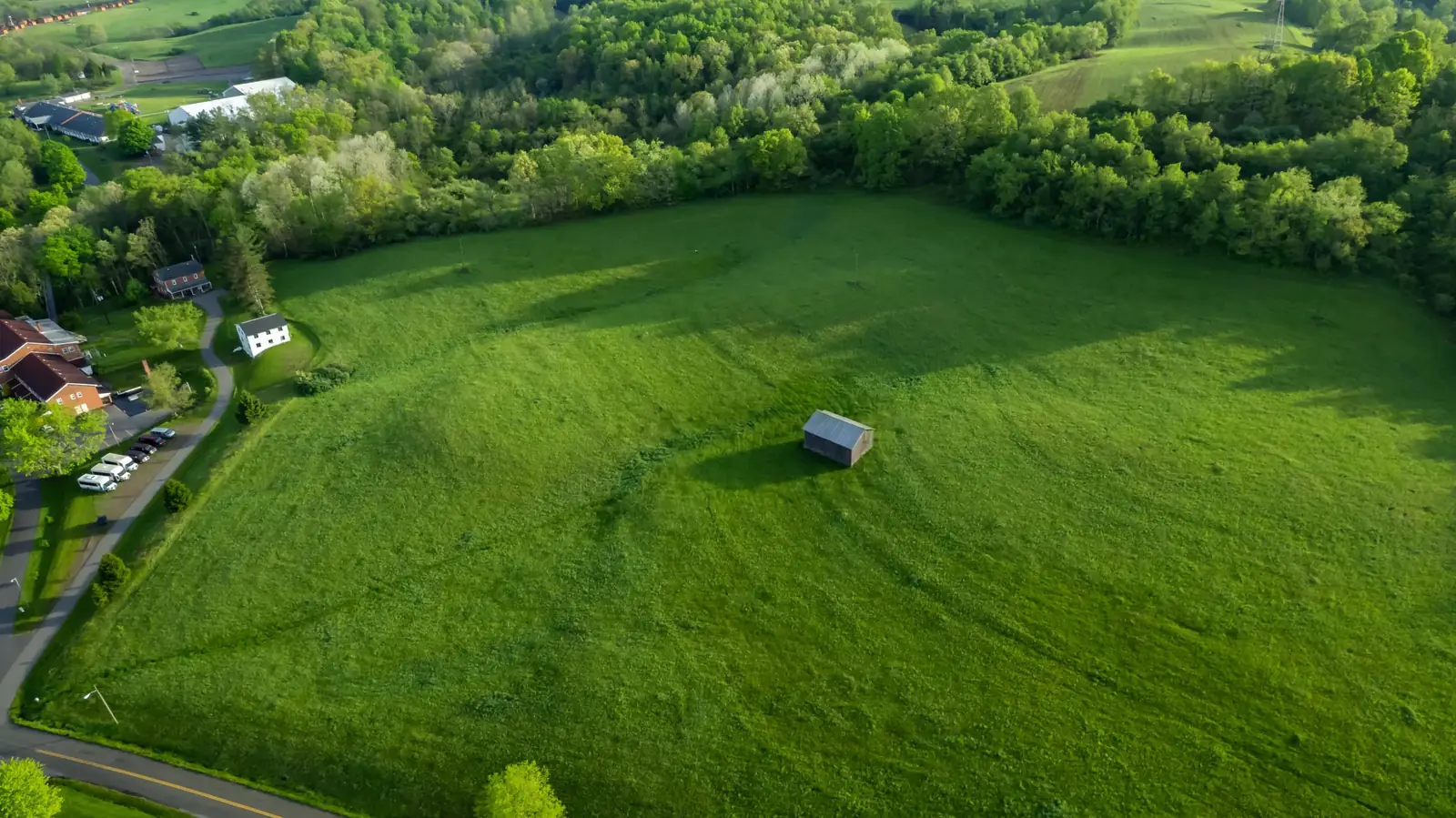
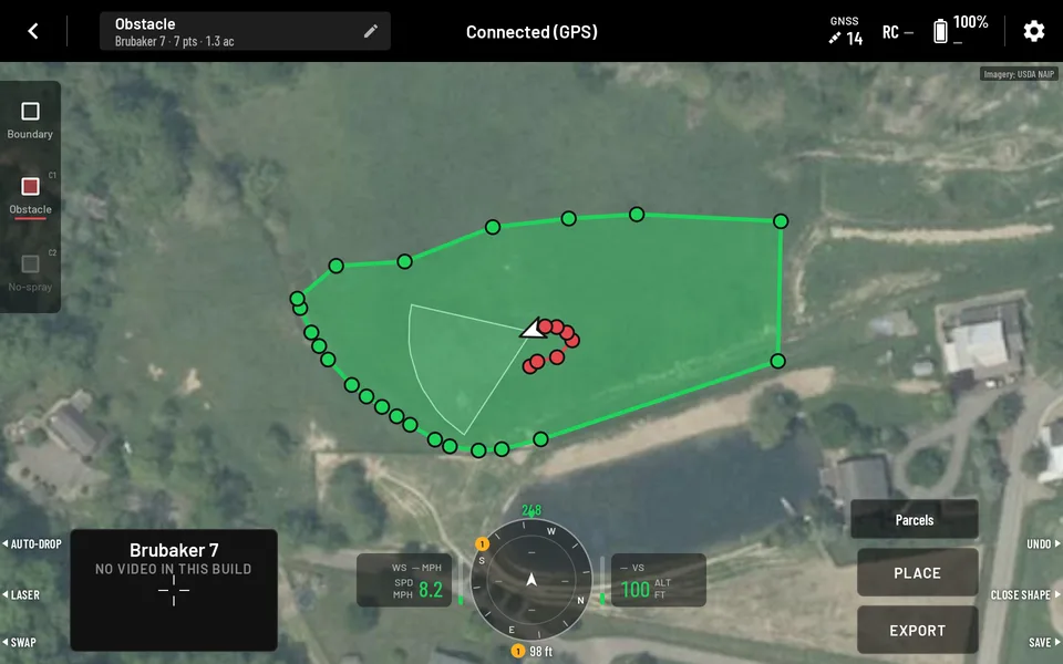
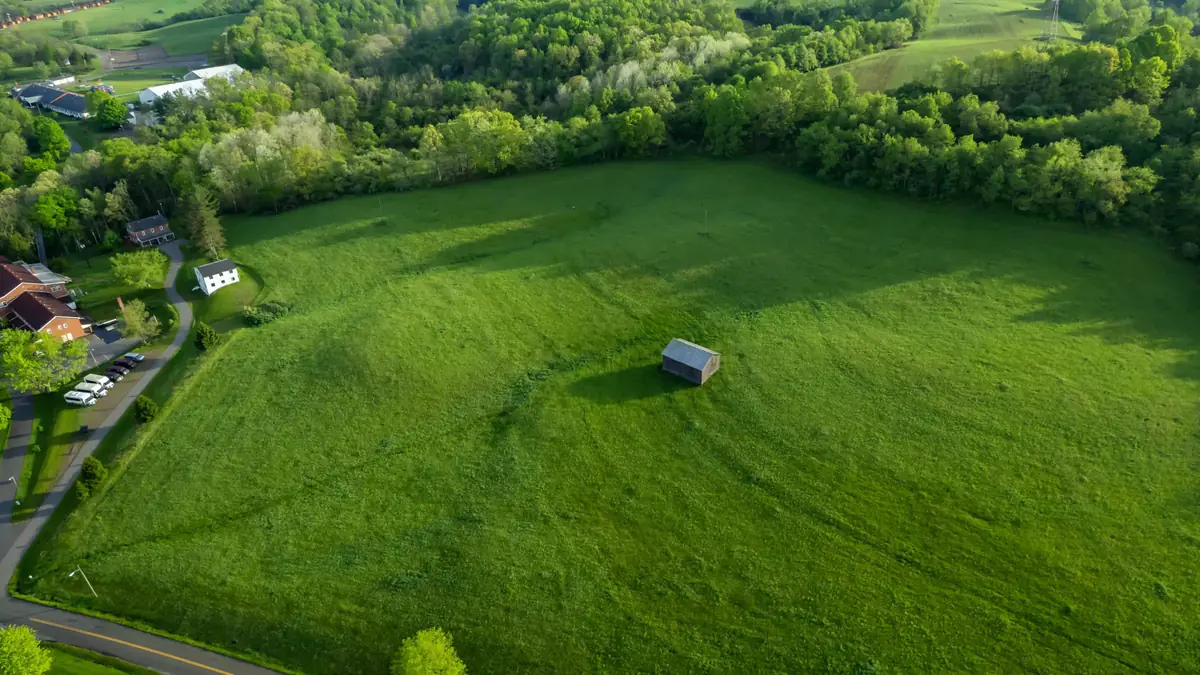
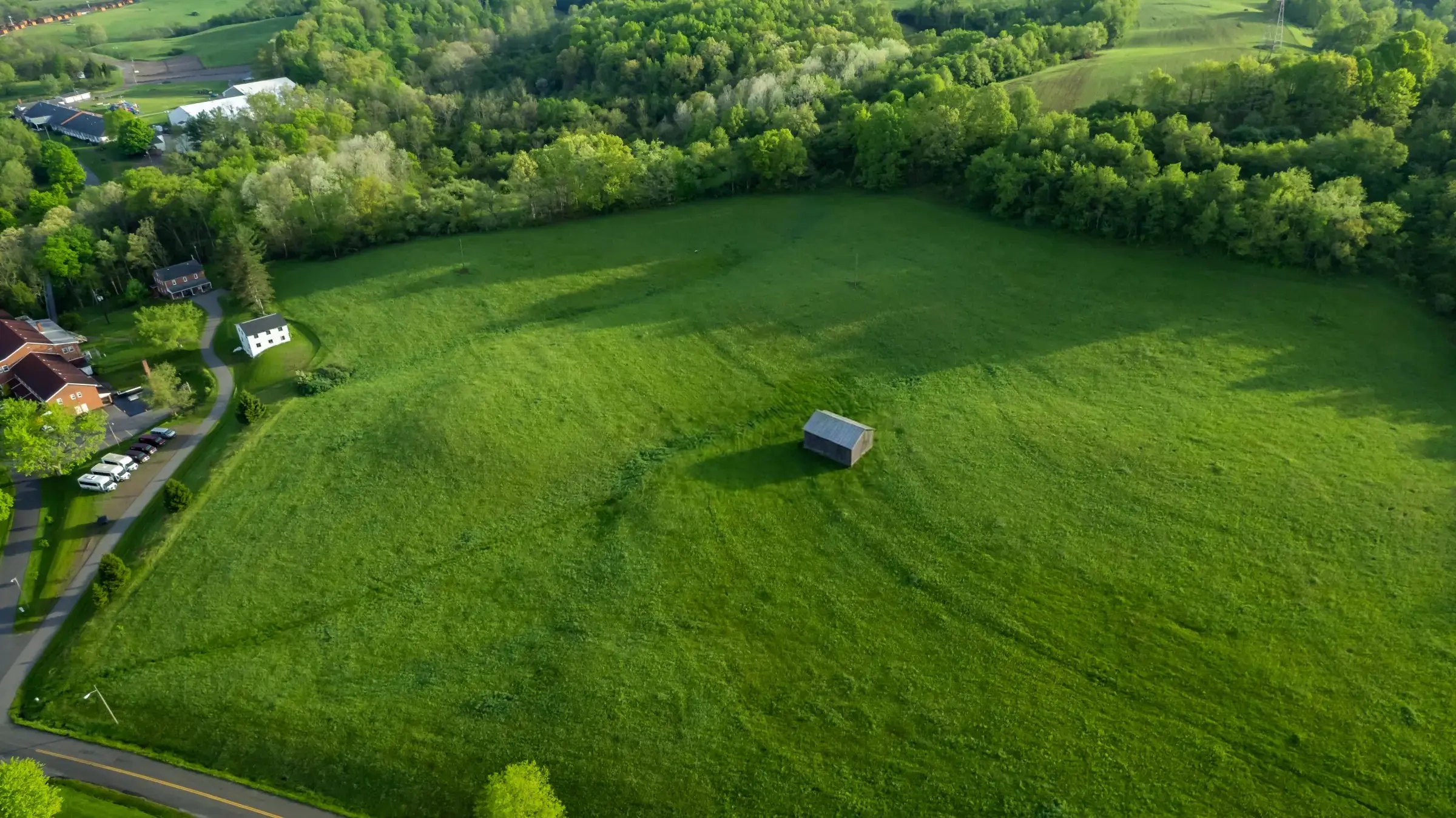
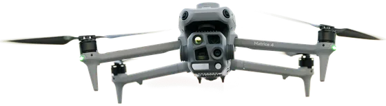
Fly your enterprise DJI drone along the tree line and the road. Press C3 at each corner, or turn on auto-drop.
02 / 04
Circle what to miss
Loop the shed with C1. The loop turns red.
03 / 04
Close and export
Hold C3 to close the field. Tap Export.
04 / 04
It's on the spray drone
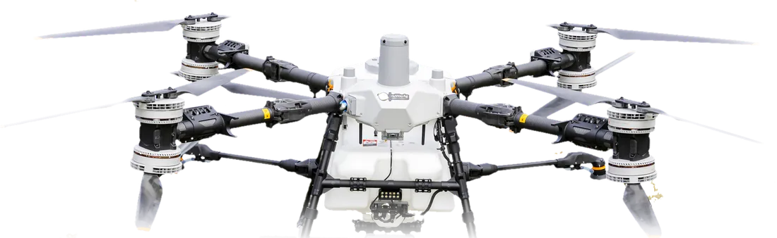
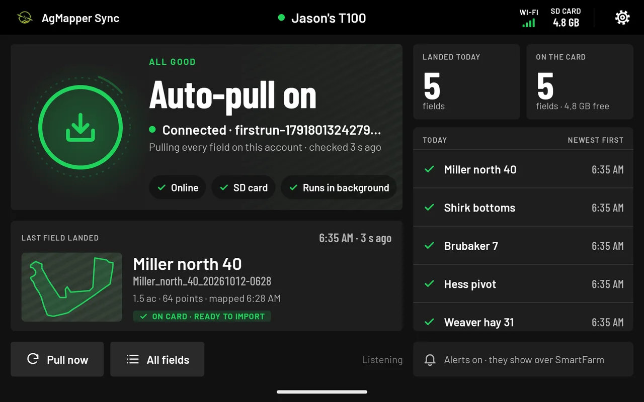
AgMapper Sync has it on the T100's controller.
What you don't do
Upload a mapFly a survey gridWait for processingDraw it by hand
01 / 04
Fly the edge
One tap on your enterprise DJI drone. Seconds later, it's on the Agras.
- Enterprise DJI droneAgMapper
- CloudYour nuWay account
- Agras T100AgMapper Sync, on the SD card
About 5 seconds from the Export tap to the files on the sprayer controller's card, measured on our own controllers (Oct 12, 2026: 4.9 s).
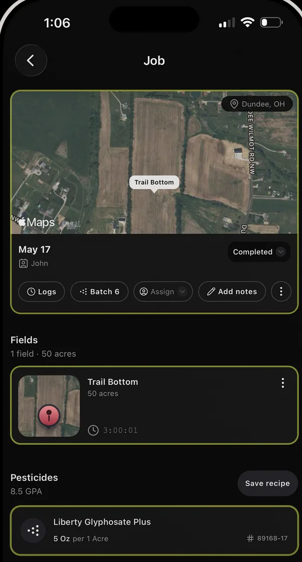
Integrates into AgTrack
Map once. It's on your sprayer and in AgTrack. Automatically.
AgTrack is nuWay's compliance and spray-records app. The job fills itself in: boundary, acres, obstacles, no-spray zones and the landing spot.
 on the Agras T100
AgTrack · in the job
Fly the perimeter. The boundary makes itself.
Drag the drone around the field edge.
Pulling to the T100
0.0s
Miller north 40
On its way to the T100's card
1On your Sync app 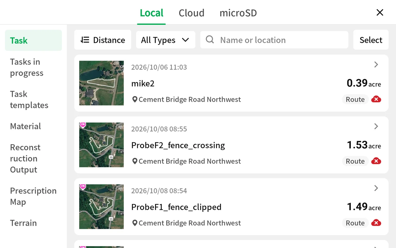
2Open SmartFarm 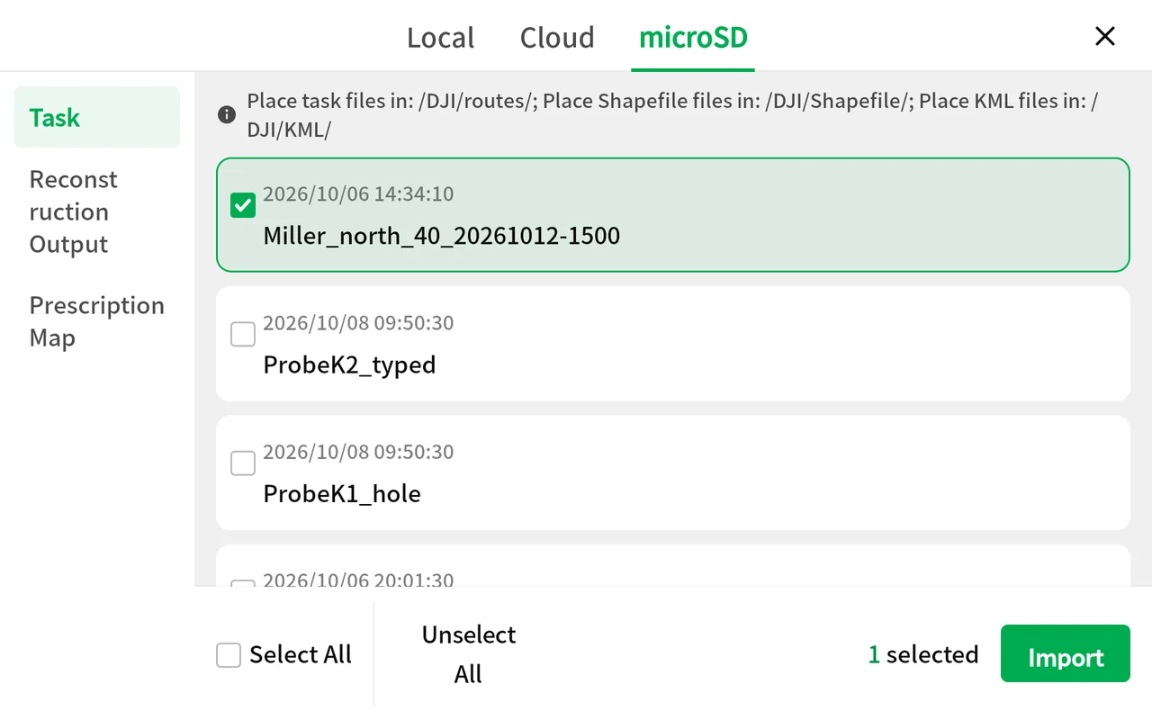
3Tap Import 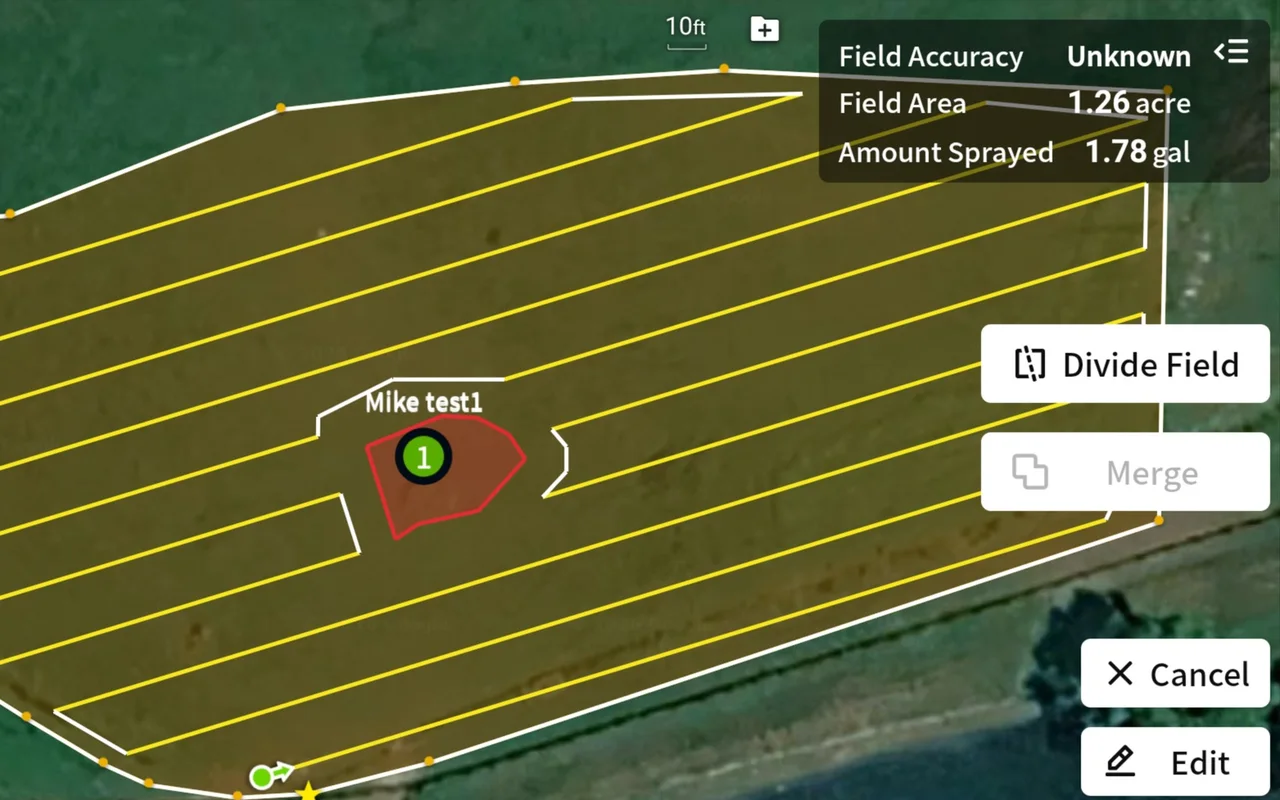
4Ready to spray
All four frames are real screens: SmartFarm captured on our T100 controller, AgMapper Sync from the app.
Priced alongside AgTrack
$499 / yearor$100 / monthPer company, every controller. Free to test.
Coming soonPlaceholder AgTrack bundle: coming
- DJI Agras Today
- EAVision Coming
- Hylio Coming
- XAG Coming
- Revolution Coming
Questions
No. No survey flight, no stitching, no map to upload. Fly the edge. That's the boundary.
If it's a Matrice 4, you're set. Other mapping drones survey first, then you process and draw. AgMapper drops the corners live.
The satellite layer can be two years old. Fly the edge and spray the field as it is today.
That ties up the sprayer or puts someone on foot. Here one pilot maps ahead while the T100 keeps spraying.
About ±0.5 m on GPS and ±0.1 m with RTK. Set a buffer in SmartFarm for tight edges.
Mapping works offline. AgMapper Sync pulls the field when the connection comes back.
Mark them with C2. They arrive in SmartFarm as obstacles, because DJI has no no-spray file type.
Call us. Send logs is one tap in the app.
Agras T100 today. EAVision, Hylio, XAG and Revolution are next.
It covers every field and every controller for a year. That's about 40 acres of custom spraying at $12.50 an acre.